Begin with the end in mind.
SINCE 1983.
Begin with the end in mind.
SINCE 1983.
With over 33,000 miles of coastline, it’s no wonder that the State of Alaska relies on marine transportation. Many of Alaska’s cities, towns, and small villages are inaccessible via the mainland. They simply are not connected by the road access that we take for granted here in the Lower 48.
The Alaskan Marine Highway System (AMHS) has been the state’s primary mode for moving people and supplies for the last 50 years. At last count, the AMHS has 11 vessels, and transports an average of 330,000 passengers and 110,000 vehicles each year. Currently, the AMHS connects 35 port communities with ports in Washington State and British Columbia, Canada.
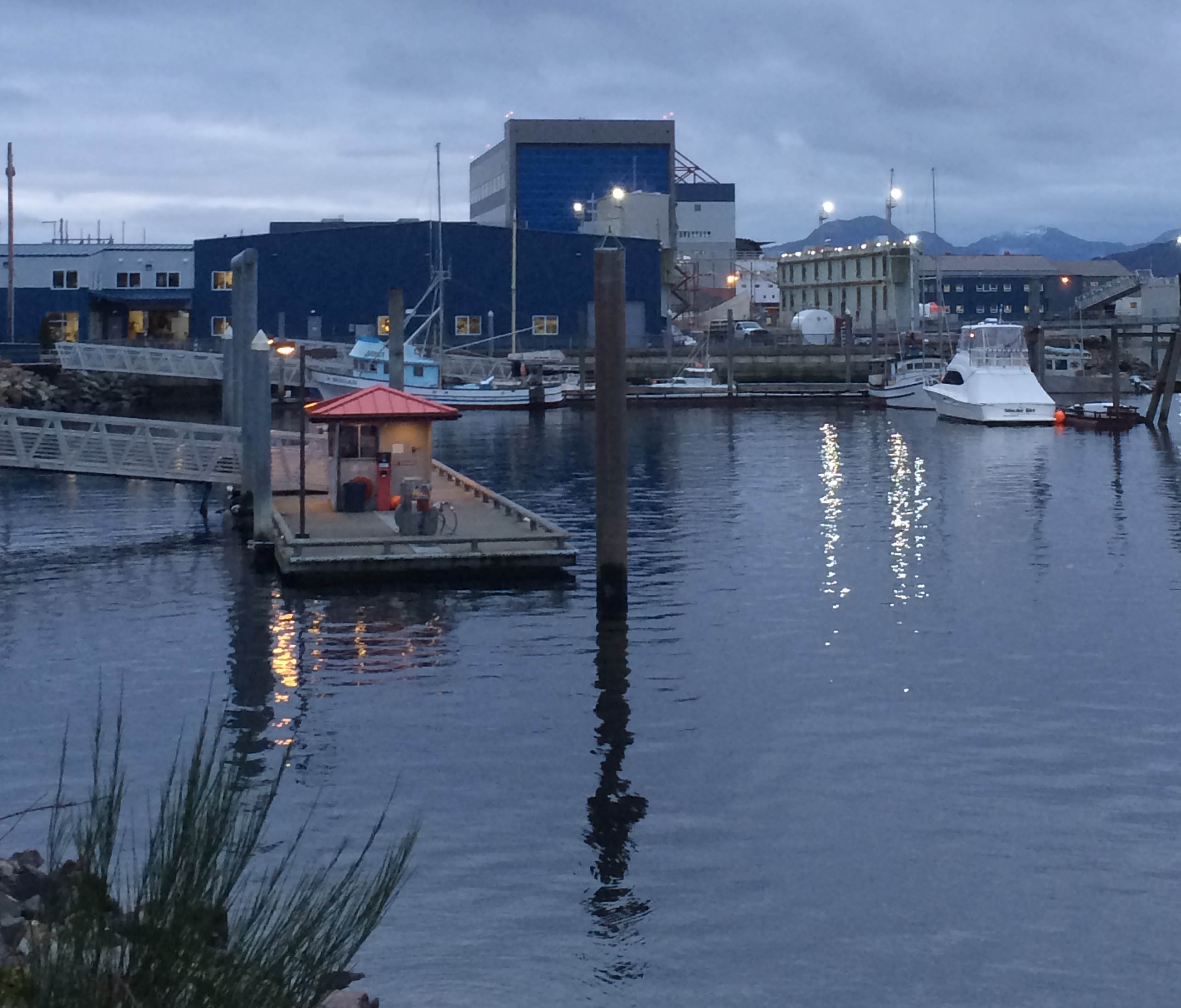
In operation since the early 1950’s as a Territory ferry line, AMHS officially became the Alaska Marine Highway System in 1963. In 2004, the headquarters were moved from Juneau to Ketchikan, where ships are maintained and repaired.
Besides having the typical dry docks, this shipyard also has an indoor repair facility. This can be a real blessing during much of Alaska’s harsh weather conditions.to the quick-change weather Alaska is noted for. And, an indoor facility is especially useful for Westlake, since the optimal conditions of the indoor facility allows us to achieve the very high tolerance parameters our laser scanning survey work requires.
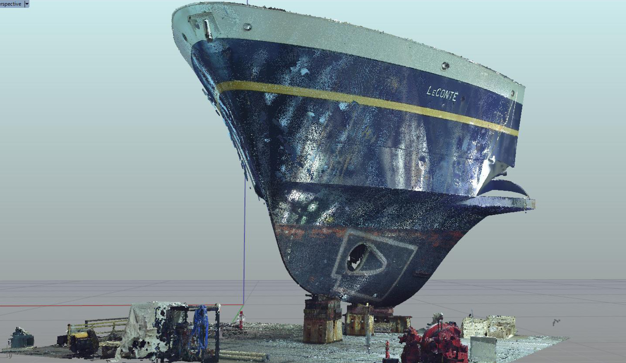
Westlake recently conducted hull surveys on two of the AMHS ferries: The MV LeConte and the MV Kennicott. The 235-foot LeConte is the older vessel of the two, commissioned in 1974. After 40 years of constant use, it was time for The LeConte to receive some extensive overhauls– inside, and out. Westlake’s team provided laser scanning of the bow to aid in the installation of new bow thrusters.
Laser scanning allowed us to recreate the complicated curves of the hull in 3D, thereby acquiring with millimeter accuracy the data needed for design and fabrication of the bow plates associated with the thrusters.
For the 382-foot long MV Kennicott, we scanned both sides of the hull encompassing the sponson for prefabrication of a new extension to the lofting on its front end. Using our laser scan data, the shipyard was able to prefabricate the extension and weld it to the existing sponson lofting, in just one crane lift.
It was a very professional experience working with the team from Westlake Consultants. Our seventeen story mid-rise was no match for their talent and experience. Very detailed and knowledgeable. I highly recommend taking advantage of their services.”
Sorry, comments are closed for this post.