Begin with the end in mind.
SINCE 1983.
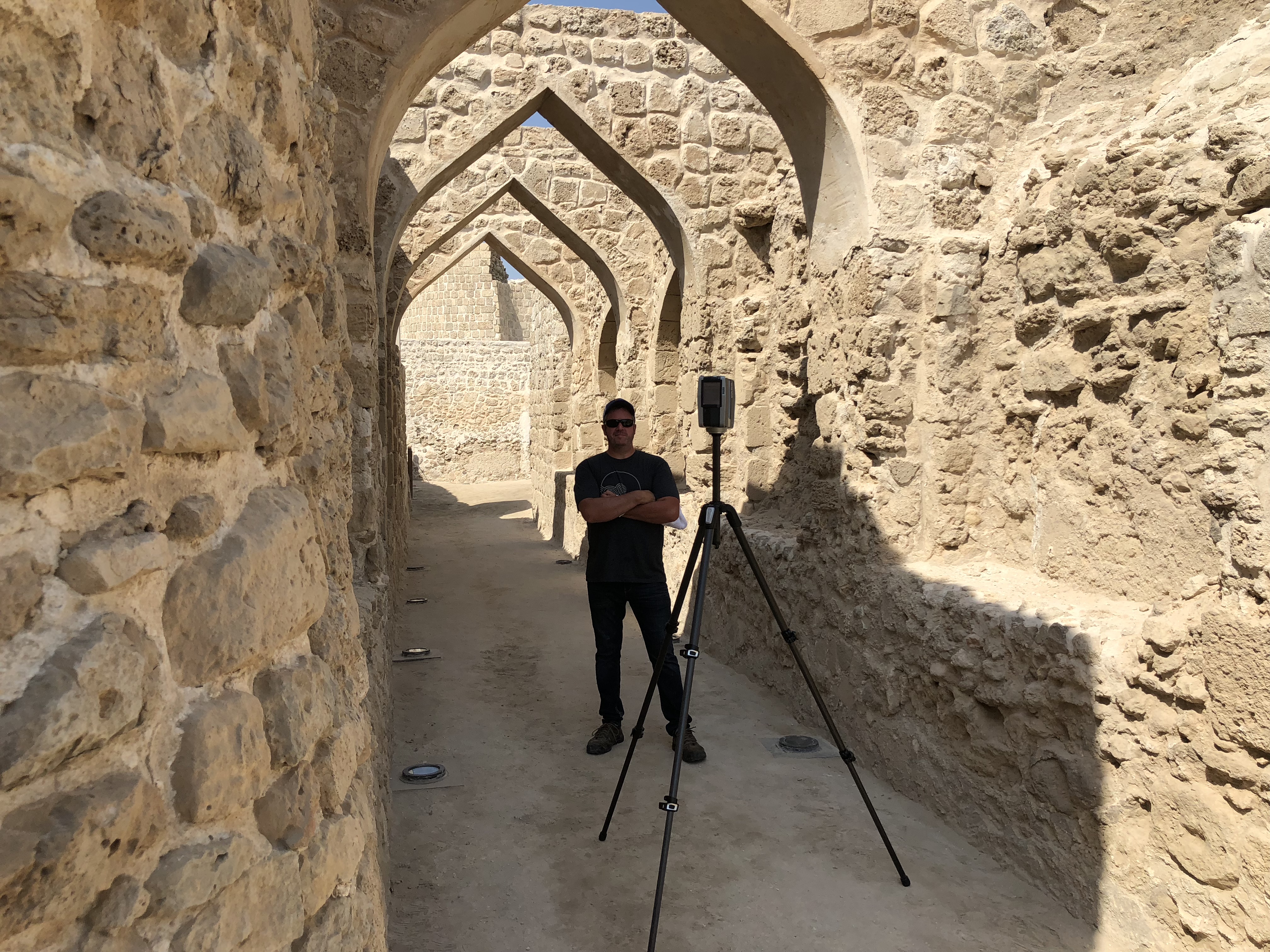
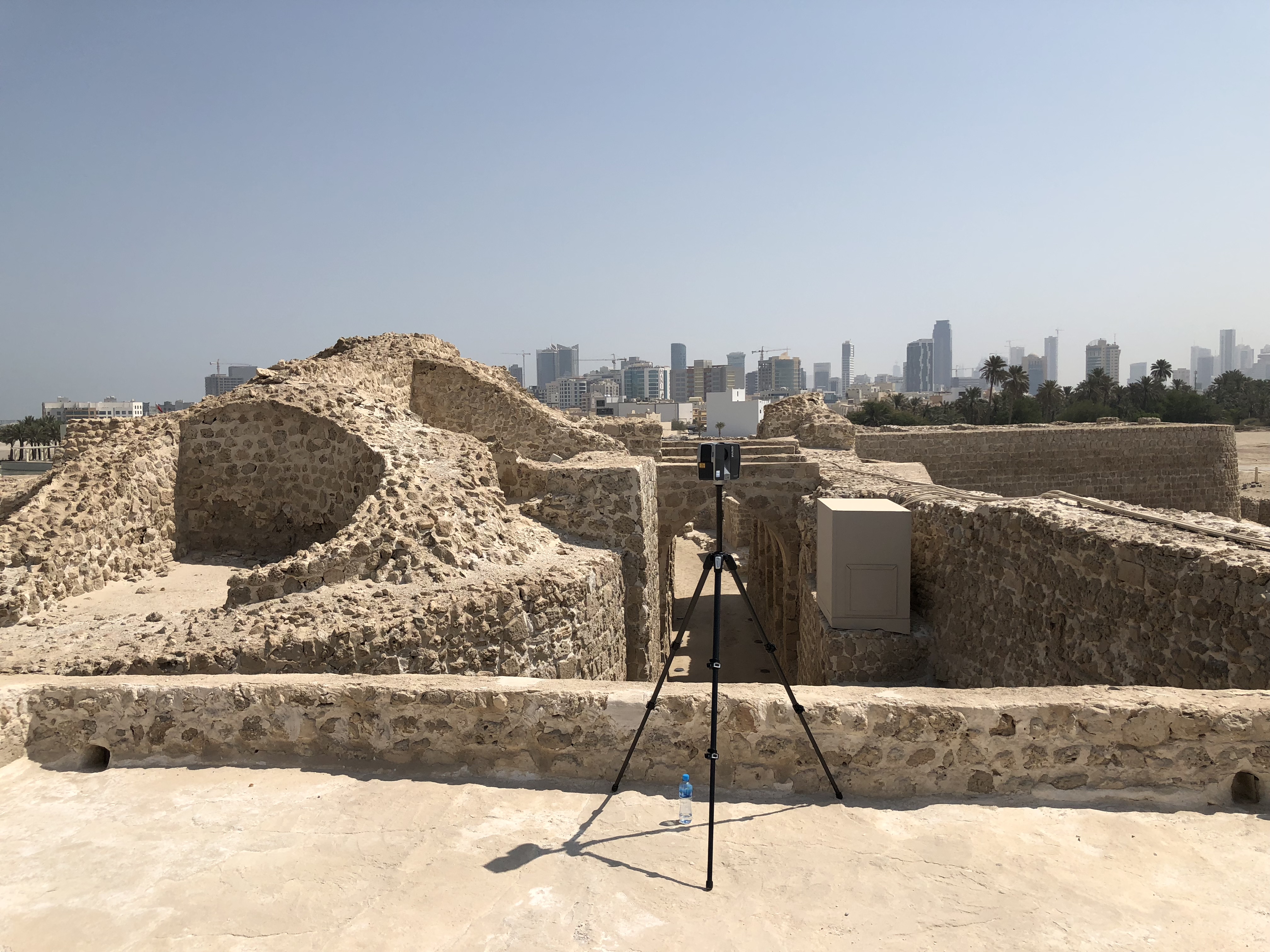
It’s no secret that our 3D Laser Scanning and Industrial Measurement Department does exciting work. Our specialty scanning services provide the opportunity for travel, both domestically and abroad. A frequent location is the Kingdom of Bahrain, where a recent trip included an excursion to the Qal’at al-Bahrain. The Qal’at al-Bahrain, also known as the Bahrain Fort, is a culturally rich archeological site located 5.5 km West of Bahrain’s capital, Manama. The site represents over 4,500 years of life, dating all the way back to 2300 BC.*
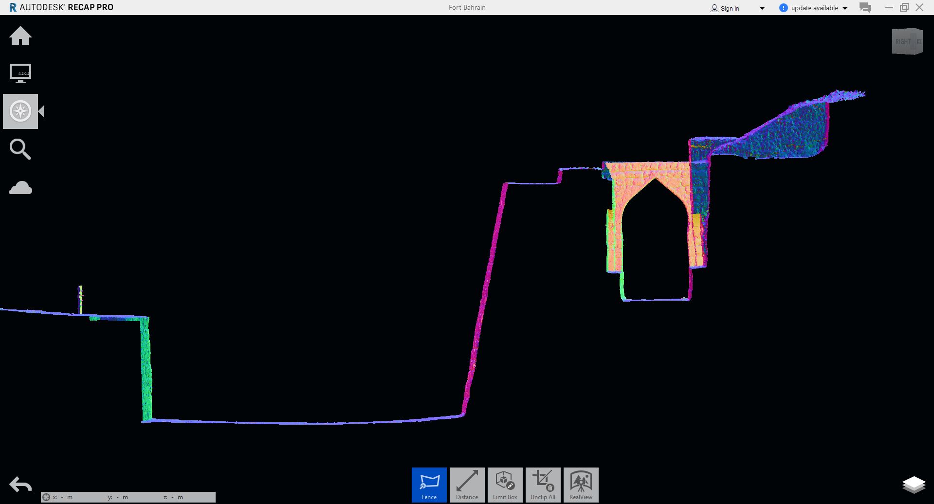
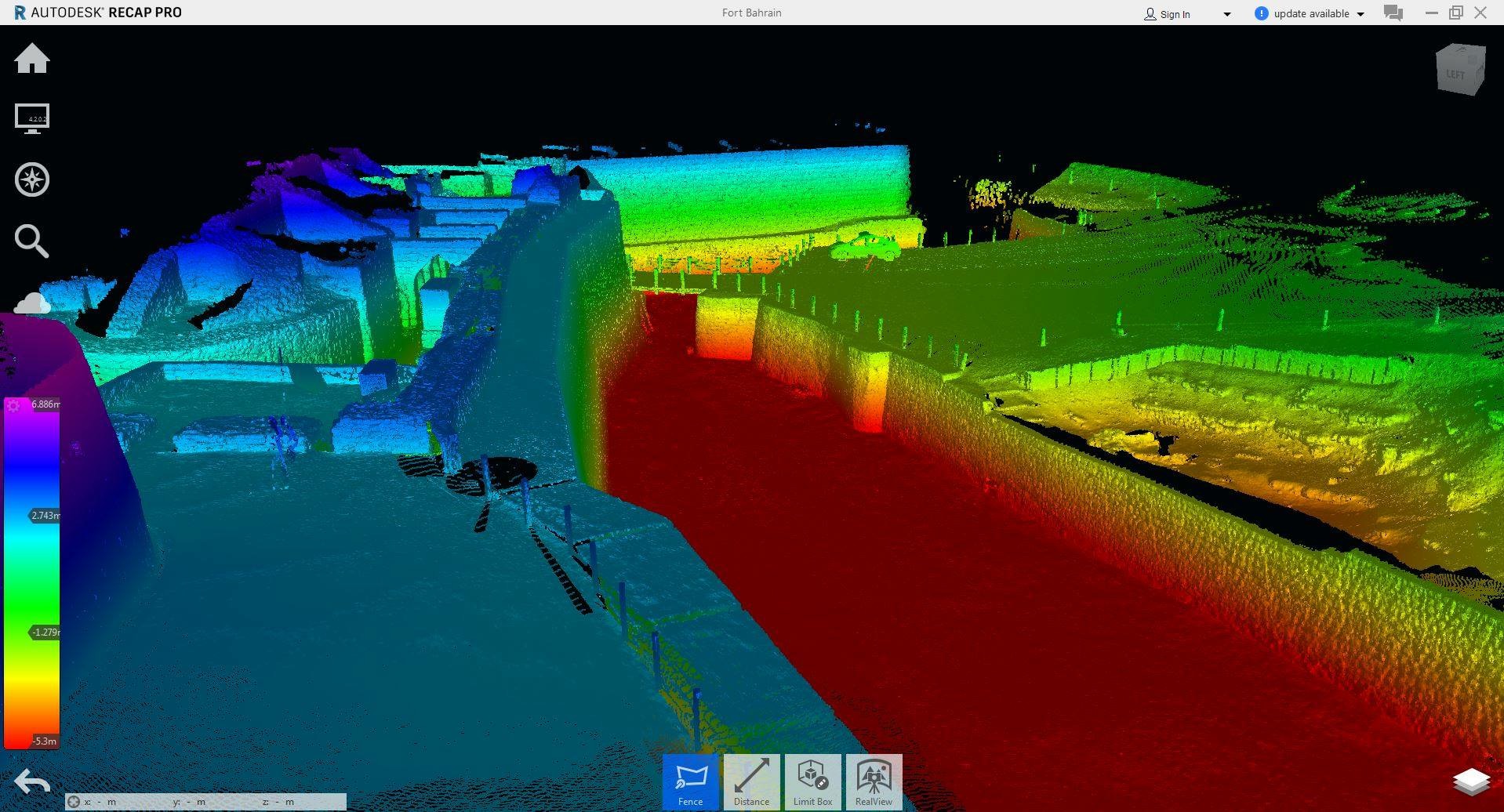
Scan point cloud with elevations
As a volunteer effort and personal hobby, Jerry Dawson, Senior Survey Technician for our IMD Department, uses his trips to Bahrain as an opportunity to capture scans from the Bahrain Fort. A huge benefit to scanning is its lack of disruption, which is important to help preserve and capture historical sites. He uses scan data and a 3D mesh model to create a ‘fly through’ video that allows viewers to see the interior of a location from a 360 perspective. The Bahrain Fort video included 40 individual scans and covered only 1/8 of the entire fort (it’s huge)! To make things even more interesting, the Bahrain temperatures reached 120 degrees that day, but the scanners can only withstand up to 100 degrees. In a true dedicated fashion, Jerry had to hold a towel above his head to cast a shadow onto the equipment to complete the two hour scanning process. The final fly-through video will look very similar to the images below.
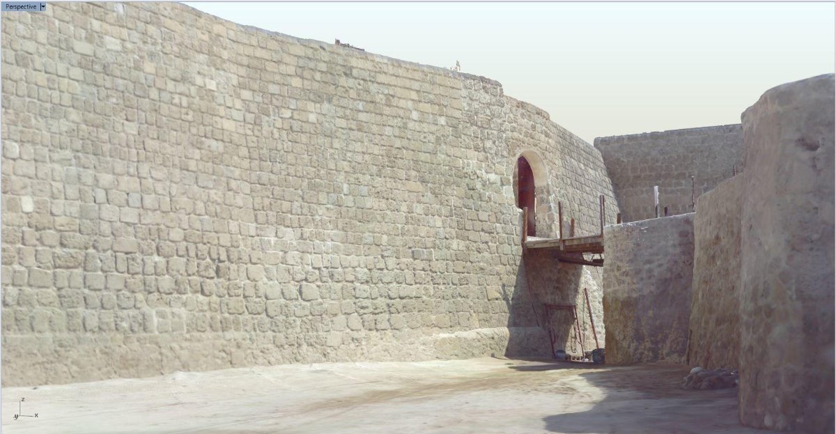
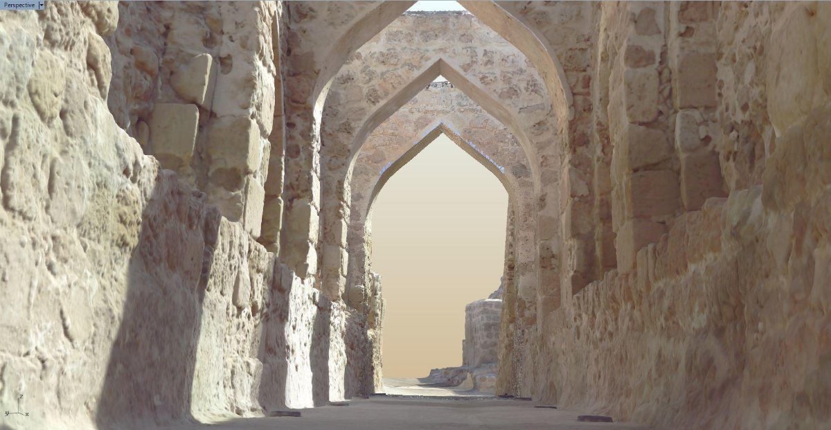
3D mesh models
*All information for Qal’at al-Bahrian is taken from the United Nations Educational, Scientific and Cultural Organization (UNESCO) World Heritage Centre: https://whc.unesco.org/en/list/1192
I have enjoyed working with Westlake Consultants and respect their high degree of professionalism.”